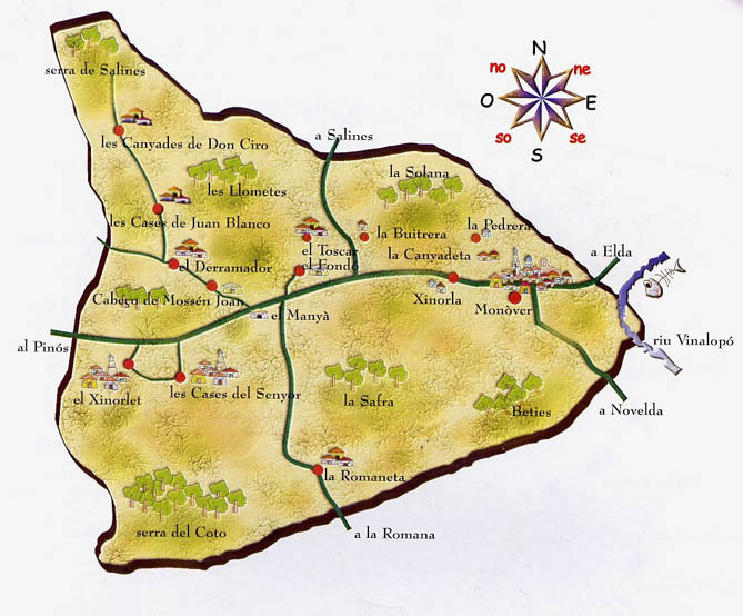
Monóvar with 152.4 km2 of extension, represents one of the most extensive municipal terms of the province of Alicante. The urban area of the city, located east of the term, is complemented by other population centers distributed in different districts and rural areas located throughout the municipality: LA ROMANETA, EL HONDÓN, CHINORLET, CASAS DEL SEÑOR and CAÑADAS DE D CIRO.
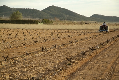
A tour of the roads and paths that run through the municipal area reveals the natural landscapes and rural areas that preserve the traditional development of the area and numerous examples of rural architecture: vine, almond and olive fields, terraced in a staggered way using large overlapping stones forming large ridges; rural housing; cave houses; wells, whose purpose was domestic supply and to water animals; and marble farms. A part-time agriculture continues to maintain our landscape and our more traditional crops.
One of the most appreciated places is the Municipal Natural Site «Monte Coto», which was declared in 2007 as such. This has an area of 763.75ha.
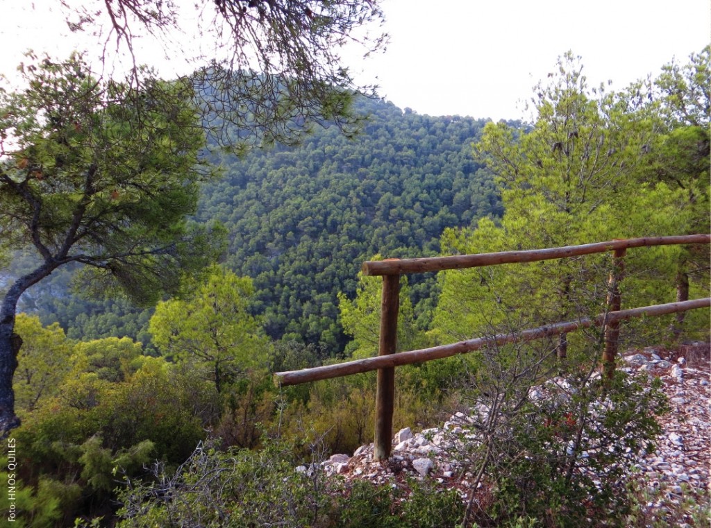
Monte Cotó is located in the Sierra del Reclot. This mountain range occupies an approximate area of 2,400 ha, of which approximately 760 ha belong to the term of Monóvar. The orography of these mountains together with their particular climate, condition the presence of unique species of great value, both in flora and fauna.
Another resource of great value in the place is the landscape: the Sierra del Coto offers deep ravines, extraordinary cuts, wooded areas, in short a great landscape variety, of great attraction for all those who approach these lands with the intention of enjoying of the nature.
More information about Mount Coto:
http://www.agricultura.gva.es/web/parajes-naturales-municipales/pnm-monte-coto-monovar
«OUR ROADS AND PATHS»
Xirivell Route
TREKKING
The Book “OUR ROADS AND PATHS. MONÓVAR” is a guide to roads and short-distance paths of our municipality that has been edited by the City of Monóvar with the collaboration of the Speleological Group and the Mountain Group. It contains 19 routes, of which 17 have been created for this publication and the remaining 2 are short-distance paths already approved that run entirely through our municipality: PRV-107 «Xirivell Route» (Xinorlet) and the PRV -177 “Sierra del Reclot ‘(Casas del Señor-La Cavafría-Las Encebras). It contains description of the itinerary of each route, time, distance, ascent slope, descent slope, difficulty, cartography, altimetric profile and elevation of the itinerary map. Numerous images highlight the natural and landscape values of the area. The routes are as follows:
Route 01: Nature Classroom – Alto Redó – Nature Classroom
Route 02: Monóvar – Zafra Summit – Monóvar
Route 03: Monóvar – Romanteta – Monóvar
Route 04: Back to Zafra by Cañada Real del Bilaire and Saltarines Trail
Route 05: Tour Sierra de la Vieja
Route 06: Back Casas del Collado
Route 07: Tour Pedrera by Canyadeta and Safarich
Route 08: Betíes Circuit – Molinos por Cantarranes
Route 09: Direct Solana
Route 10: Salitre Park – Zafra Cave
Route 11: Monóvar – Nature Classroom
Route 12: Nature Classroom – Cañadas de Don Ciro
Route 13: Hondón – Cañadas de Don Ciro
Route 14: Hondón – Buitrera – Monóvar
Route 15: Salitre – Hondón
Route 16: Casas del Señor – Hondón
Route 17: Zafra Summit – Casas del Señor by Cavafría
Route 18: PR-CV 166
Route 19: PR-CV 107

The Monte Cotó Municipal Natural Paratge will be declared on March 23, 2007 by accord of the Consell de la Generalitat Valenciana. It occupies approx. 763 ha of the Terme de Monòver and is situated in the Serra del Reclot which, with a total extension of 2,400 ha, is also in the municipality of Monòver, el Pinós, l’Alguenya and la Romana. Posseeix multiple mèrits ecològics, paisatgístics, historòric-culturals i relacionats amb els uses recreatius i d’esplai.
El Coto presents a repleu accidentat, amb forts pendents. The highest altitude tip advises els 997 meters and is located in the Capçalera of Barranc de Caseta. Dominat in the seua major part for a dense massa of pi carrasco, ofereix per la seua vegetació, certs aspectes d’interés: Barranc de la Quitranera and Capçaleres and ombria of the Barranc de Caseta.
The only existing constructions are the installation of abandoned buildings annexed to the old stone tower of Monte Coto and the fire watch tower located in Alt Redó.
In addition there are some dispersed constructions of agricultural character to the voltants of Spain. The closest population center is the dels Cases del Senyor, at 700m from the Nord del Paratge boundary.
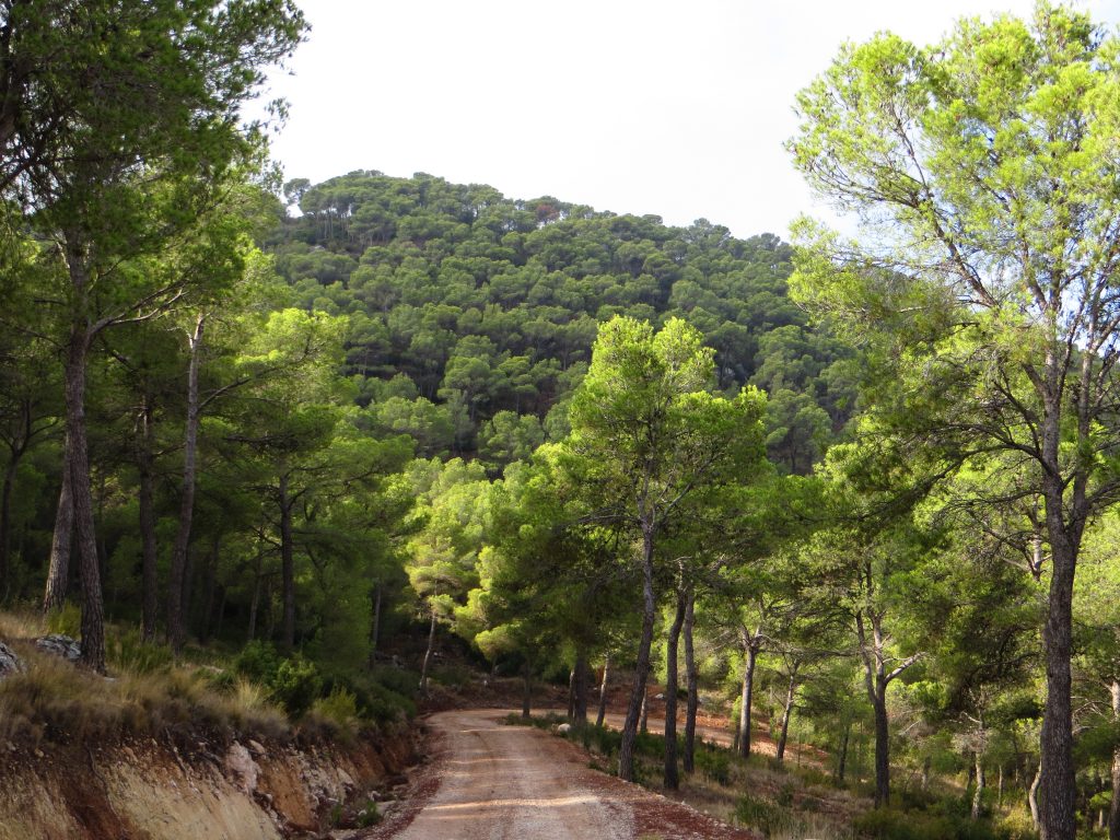
This mountain range constitutes an enclave of great interest in the C.V., since it acts as a transition territory between the coastal lands and the interior areas of the plateau. This and the weather conditions the presence of unique species of great value.
The existence of different environmental units such as scrubland and trees and ravines, allows the presence in the place of great diversity of fauna: birds, amphibians (scarce by the few existing water points), reptiles (detected some thirteen species: the snake green, the red-tailed lizard, the lizard …).
The most outstanding species in mammals are the wildcat, the Gardunya, the gineta, the lustón careto, the weasel, the badger and the squirrel.
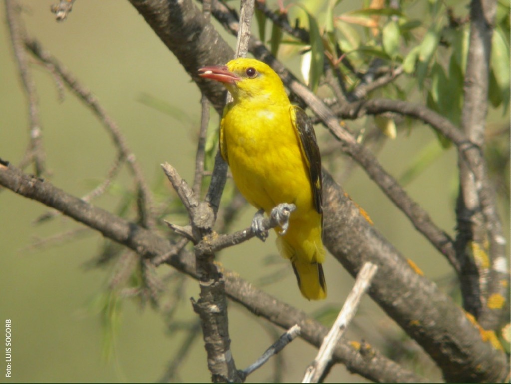
Among the species present there are more than 100 species of birds. The nesting raptors associated with rocky media stand out, among which the golden eagle stands out. Other species that can be observed are: the European Culebrera eagle, the common hawk, the common hawk, the buzzard busardo, the peregrine falcon, the Soriguer and the common claw.
About 700 plant species are known. The most relevant species is the rooster or oak (Quercus faginea), we can see it in the Barranco de la Quitranera, one of the best preserved corners of the whole place.
With a total of 13,200m2 located in Los Casas del Señor, the Nature Classroom has facilities prepared to house walkers, groups, schools … with bedrooms, changing rooms with showers, sports facilities, barbecue and exhibition hall. From the Nature Classroom we can start different routes.
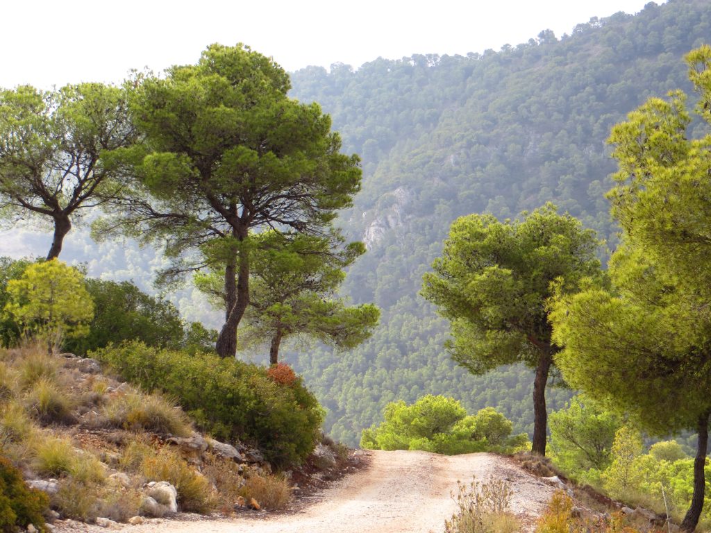
This tour can be started by any of the three points. AL Almorquí accesses from GR-7 between Los Casas del Señor and Las Encebres. Following a forest trail, you will reach a rest area where we can see remains of old carboneras, a plaster oven and a water tank.
In the Pino de la Farola we can choose to go to the Cavafis or to go up to the viewpoint towards Las Tres Fuentes.
This route runs through the areas of greatest ecological value in the entire region, with samples of flora, fauna, cavities and spectacular panoramic views.
The passage has great potential in relation to recreational activities and environmental education.
Within the space, various mountain sports are developed, such as climbing and hiking, running along several short-distance paths interconnected with each other; PRV-166: Almorquí-Cavafis-Tres Fuentes and PRV-3: El Pinós-Los Tres Fuentes-Pinoso and with the GR-7 long-distance trail.
From the point of view of traditional uses, El Coto is a regional and local reference deeply rooted in the population. Throughout history several uses have been developed in it and it has been used as a source of resources: beekeeping, grazing, esparto collection, obtaining lime and plaster, extraction of ornamental rocks, carbon, collection of medicinal plants, collection of sand, water use from sources, etc.
